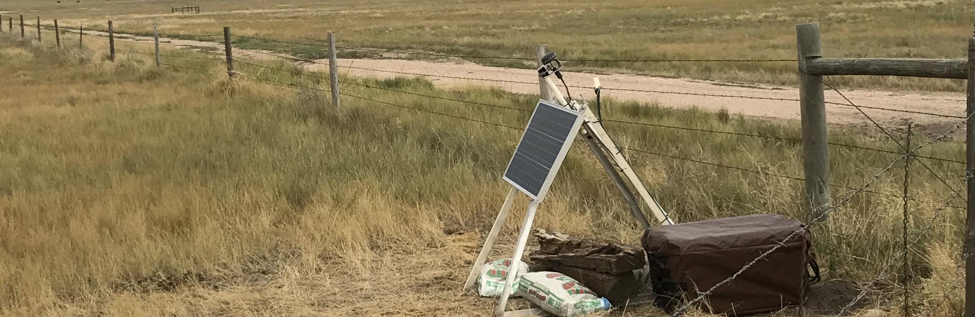
The Denver Basin Earthquake Study began with a rapid aftershock deployment of the June 1, 2014 UTC (May 31 local time) earthquake that occurred east of Greeley, Colorado. The earthquake was widely felt, with felt reports from as far as Golden and Sterling, Colorado, at 99 and 115 km distance, respectively. The deployment of seismometers to study the earthquake was led by a team from the University of Colorado Boulder. The network started with five stations centered on the epicenter of the 2014 earthquake, and in 2016 the network was expanded to include a larger part of the Denver Basin, for a total of 16 seismograph stations. All data were send in real-time by cell phone modem to the University of Colorado Boulder, and from there transmitted to the USGS in Golden and the Incorporated Research Institutions for Seismology (IRIS) data management center in Seattle. Results from our research can be found here. All data were made freely and immediately open to all. All of the seismograph stations except GRWE were removed in 2019 and 2020. In December 2019 the telemetry modems became obsolete, and telemetry halted at all stations. In February 2020 a new modem was installed at station GRWE and telemetry resumed at that station only. Seismograph station CHIL was removed and replaced by a Colorado Geological Survey seismograph station, also called CHIL, in February 2020. Approximately 1200 earthquakes (the large majority less than magnitude 1.5, too small to be felt) were recorded in the immediate region from 2014-2019.
Anne Sheehan, Professor and Project Director, University of Colorado Boulder